England's chalk streams
Every chalk river in England: where it runs, how it is doing, what is being restored, and where to fish.
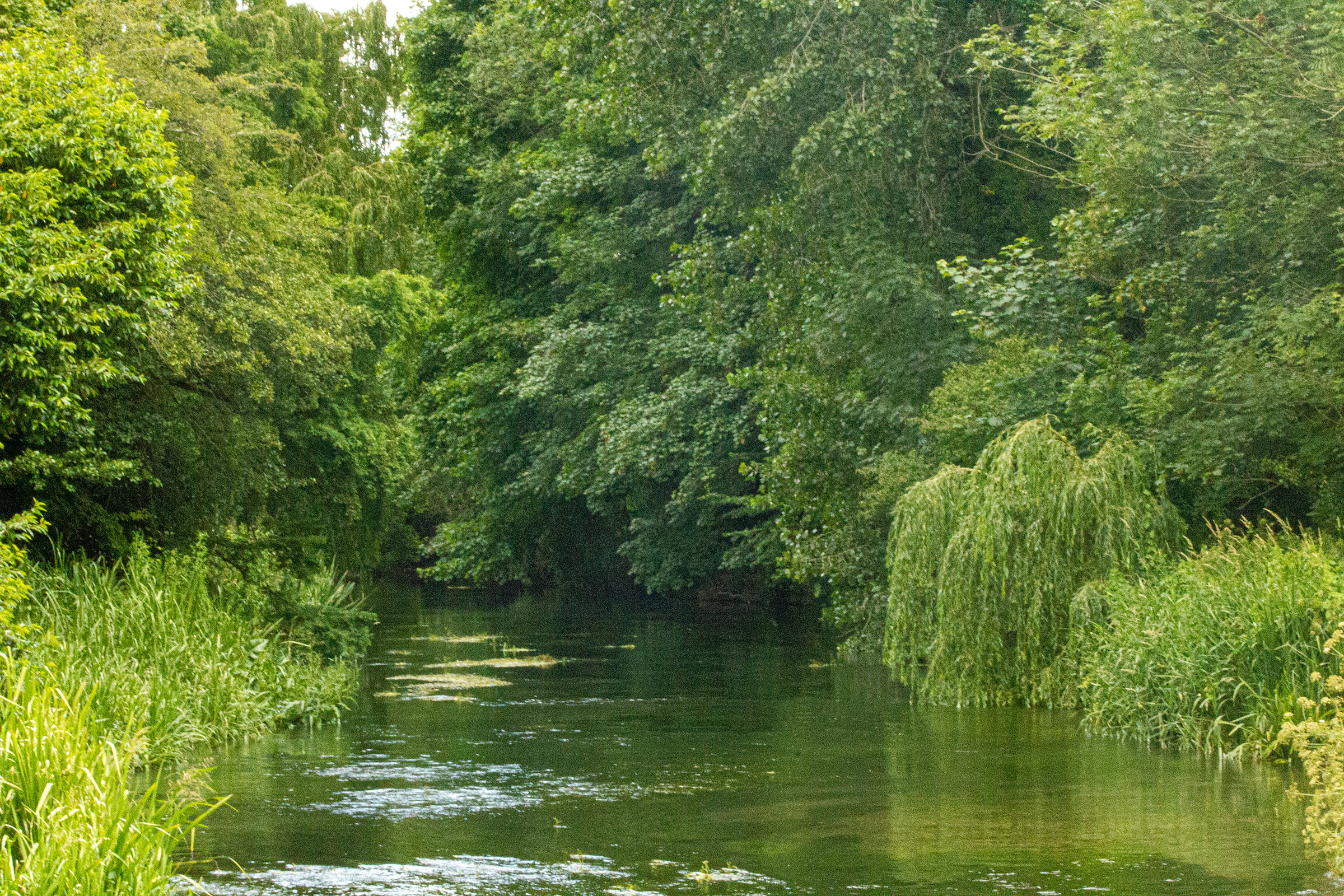
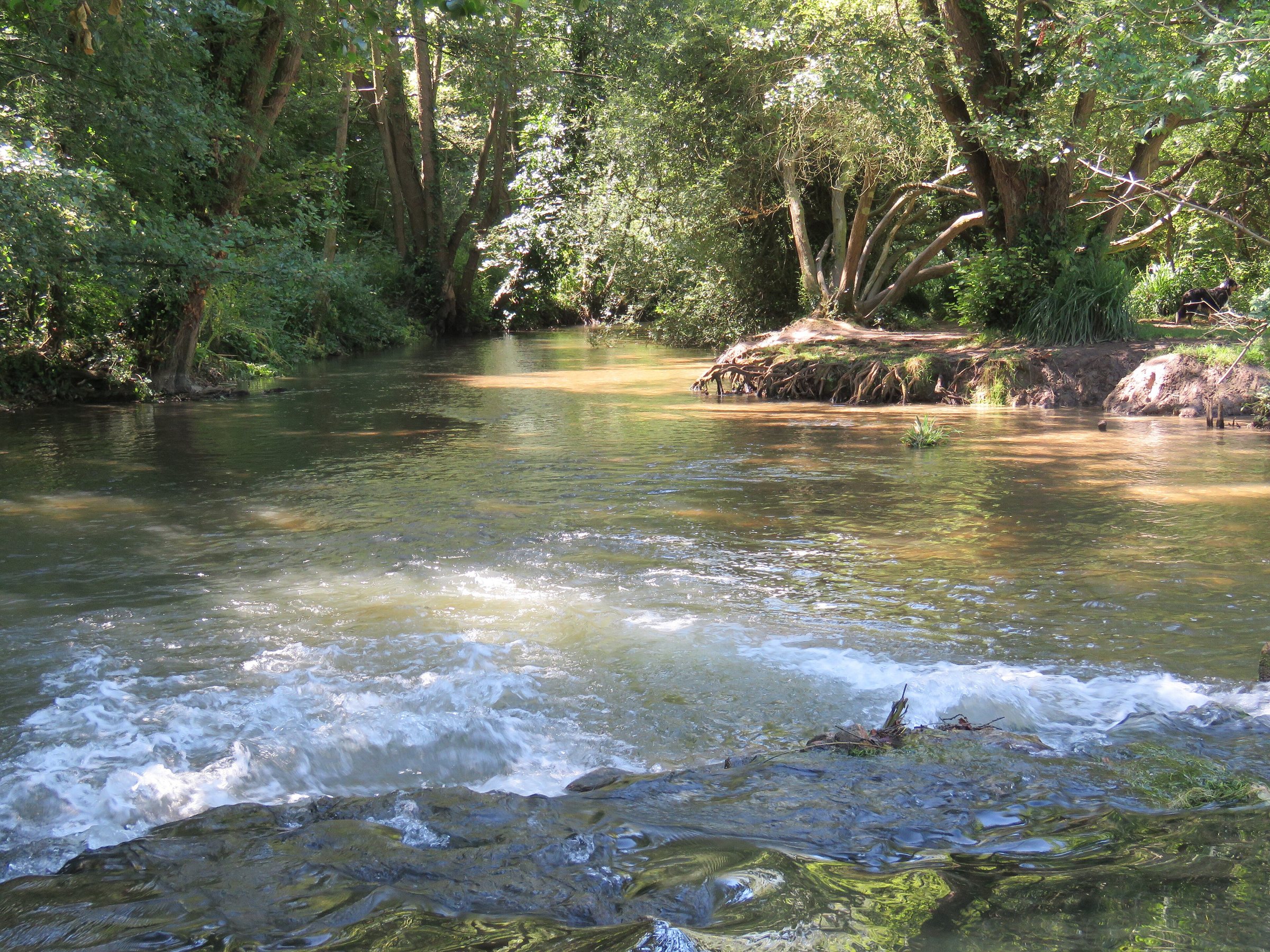
The Itchen north of Shawford. Forbes Johnston, CC BY 2.0 (source)
Open the map
372 chalk rivers in England
Coloured dot: the Environment Agency's rating for the largest share of the river (2022). The rating is set by the worst of several measures, so a river rated moderate or poor can still hold healthy fish.
All 372 rivers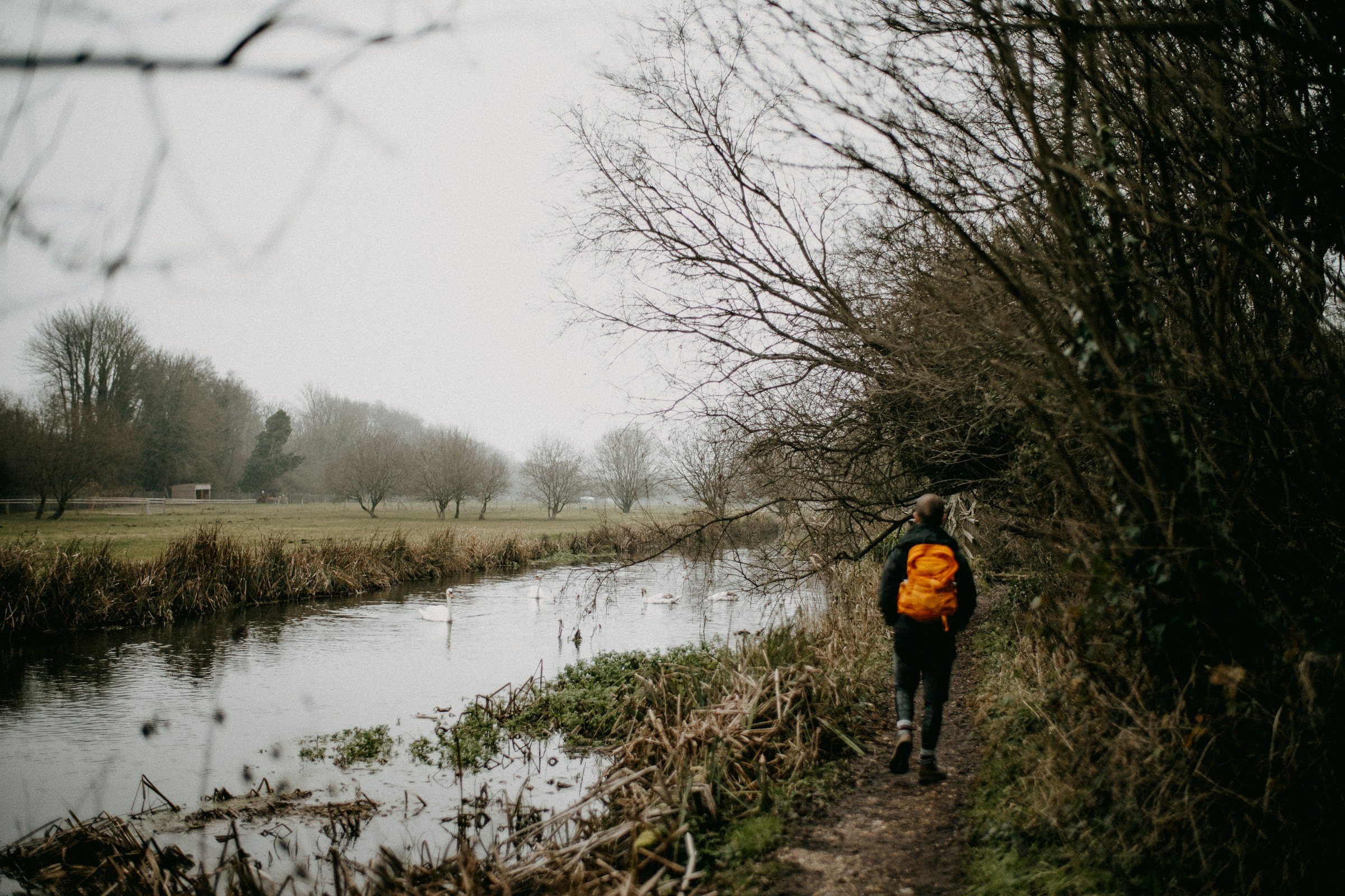
The map
10,293 km of chalk river and tributary, from Dorset to Yorkshire. Tap or hover over a river to see its name and rating; the full map shows what is holding each one back.
The state of the rivers
One kilometre in six
Environment Agency, 2022
In its latest assessment, the Environment Agency rated 16% of the chalk river it monitors at good ecological status. The rest is held back by pollution, low flows and old changes to the channel. Each river page shows how its stretches are rated, what is holding them back and what has been restored.
Good 611 kmModerate 2256 kmPoor 723 kmBad 113 kmNot assessed 61.2 km
65 restoration projects recorded so far. How this works
Explore
The map
Every chalk river and tributary, 10,293 km
Rivers, A to Z
372 river pages
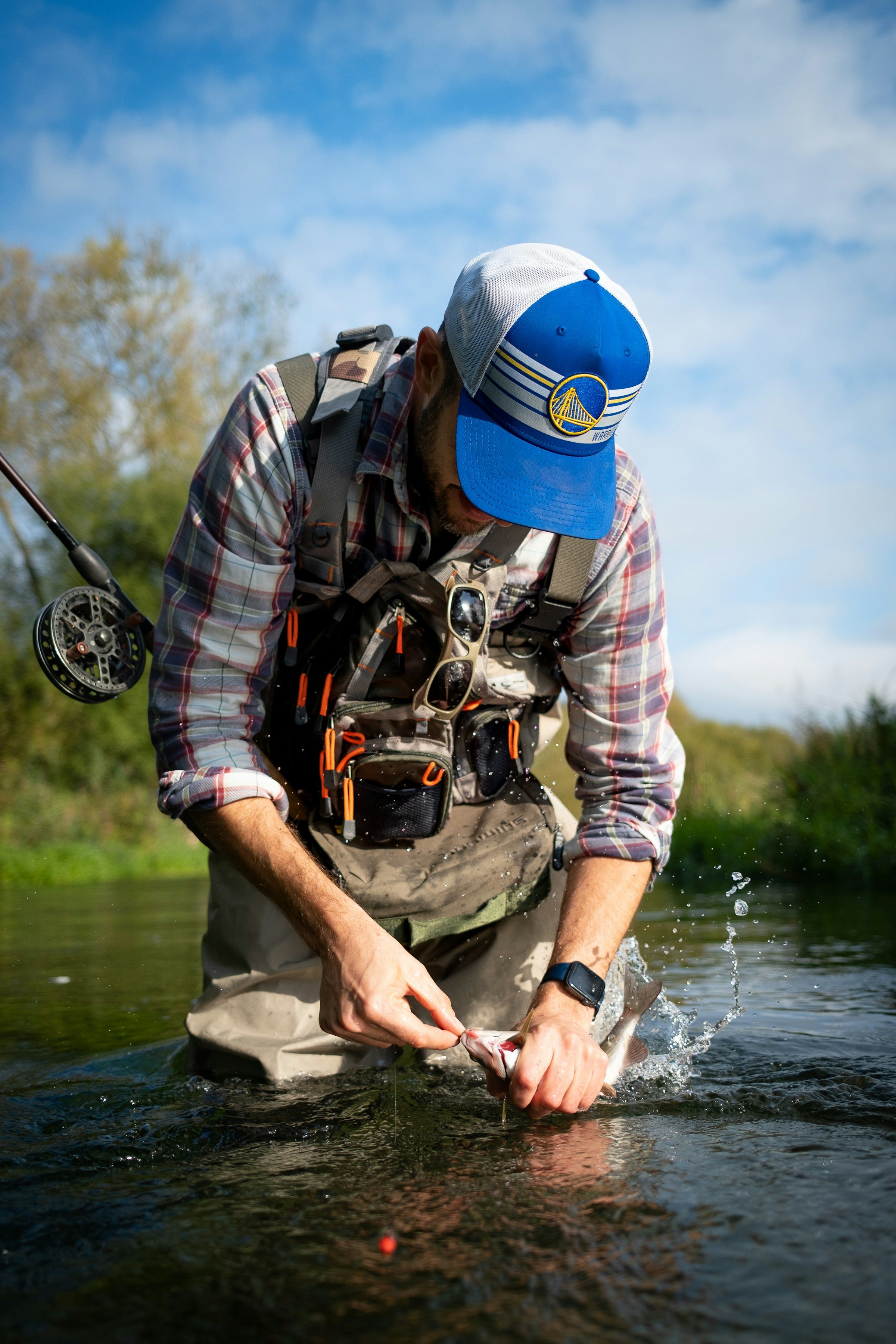
Where to fish
Day tickets, syndicates and clubs
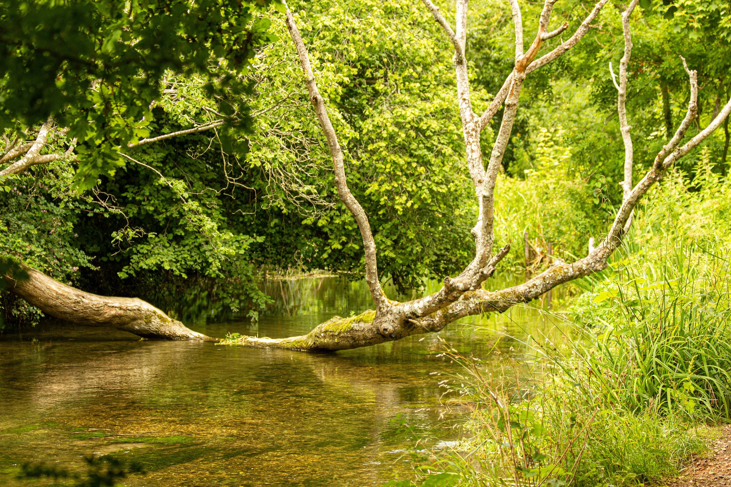
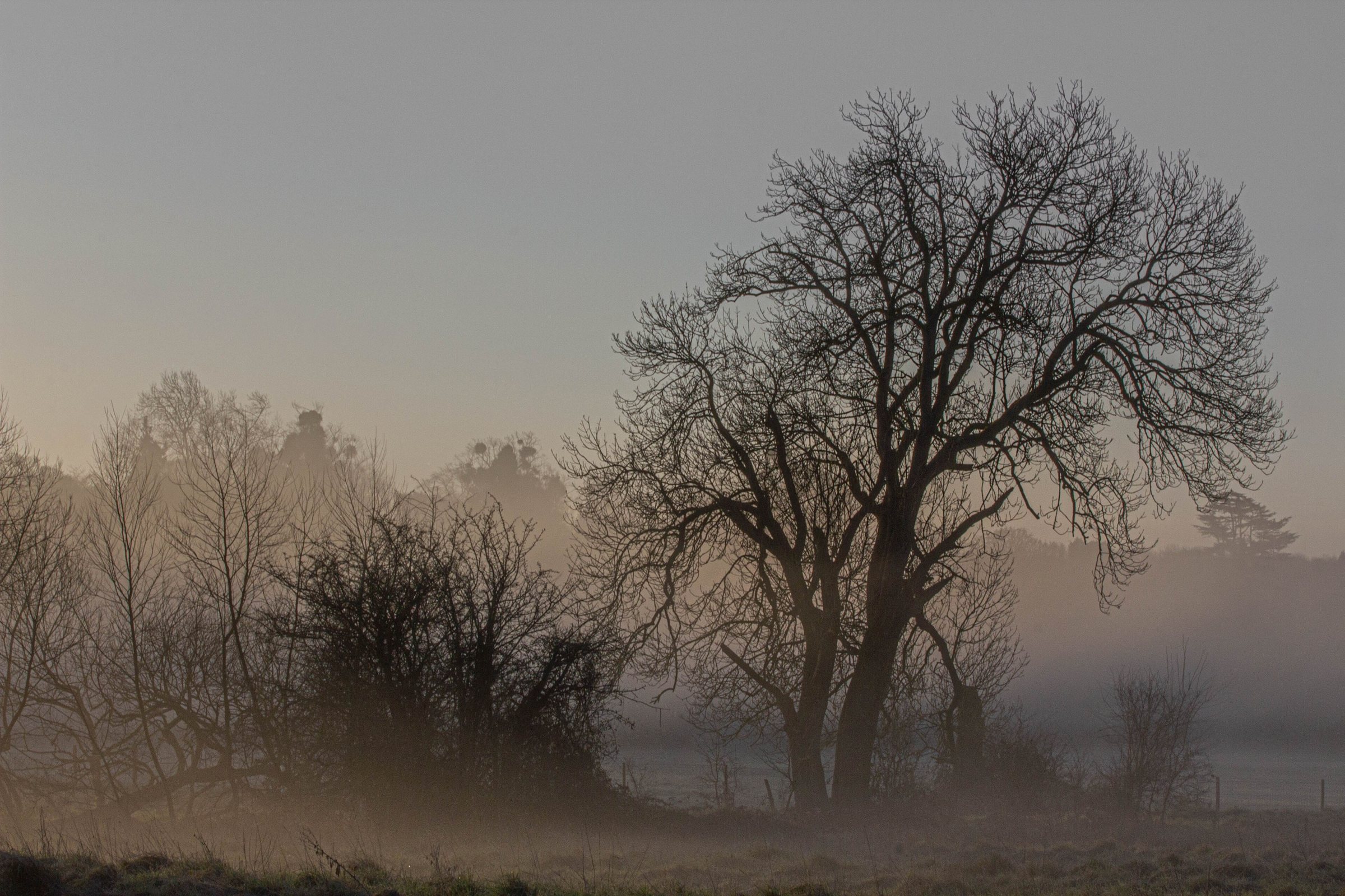
Photos: Forbes Johnston, CC BY 4.0 (source); Lesbardd, CC BY-SA 4.0 (source); Ben Wicks, Unsplash Licence (source).

