Rivers · North Norfolk
Fish high
River insects high
Pollution or low flow
None recorded
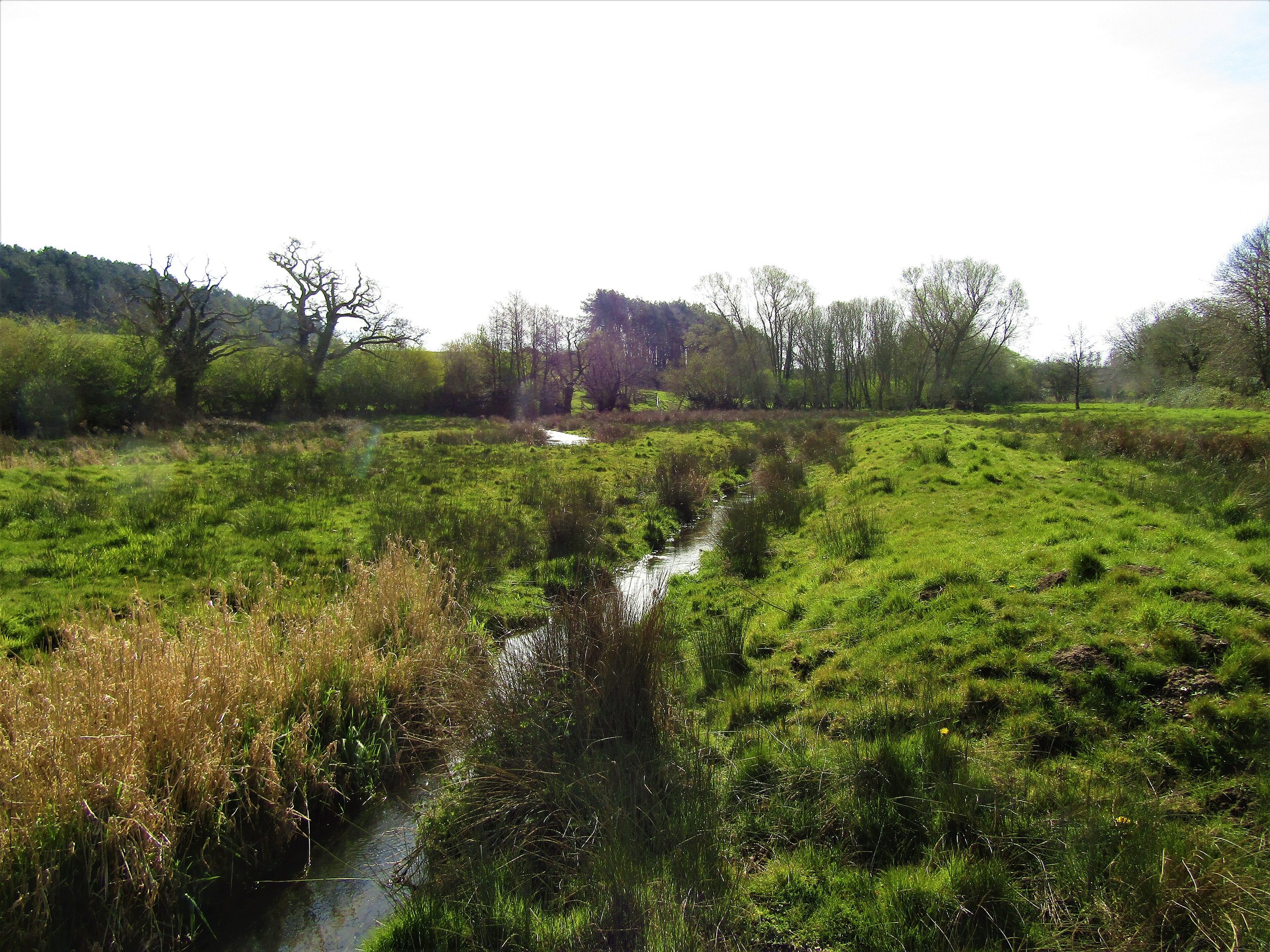

Fishing
Who lets the water, how to get a rod, and the river level today.
Fishing on the Glaven
Holds wild brown trout and sea trout, but the fishing is private and we found no rods let.
We haven't found a club or day tickets to link to. If you know one, tell us below.
Source · checked 19 November 2026
Chalk stream fishing is almost always private: always get permission.
River level now
Live from the Environment Agency's gauges, updated every 15 minutes. The shaded band is each gauge's usual range; the line is the last seven days.
Loading the latest levels…
Source: Environment Agency real-time flood-monitoring data, Open Government Licence v3.0.
Restoration
How the river is doing, what the Environment Agency records as holding it back, what could help, and who is working on it.
How it's doing
Not protected as a river, but flows through: Norfolk Valley Fens SAC; Holt Lowes SSSI.
Sources (2) · checked 19 November 2026
- Natural England, Sites of Special Scientific Interest (England)
- Natural England, Special Areas of Conservation (England)
Worked out by overlaying the chalk channel on the official site boundaries. SSSIs are protected by law in England; SACs are the highest level of protection for wildlife sites.
Environment Agency ecological status, 2022. One failing measure sets the rating, so a river rated poor can still hold healthy fish.
Every measure, stretch by stretch
| Stretch | Fish | River insects | Water plants | Phosphate | Oxygen | Ammonia | Flow |
|---|---|---|---|---|---|---|---|
| Glaven | High | High | Moderate | High | High | High | OK |
On the ground
Photos of dry or low stretches, and of weirs and sluices that block fish, taken by Geograph contributors.
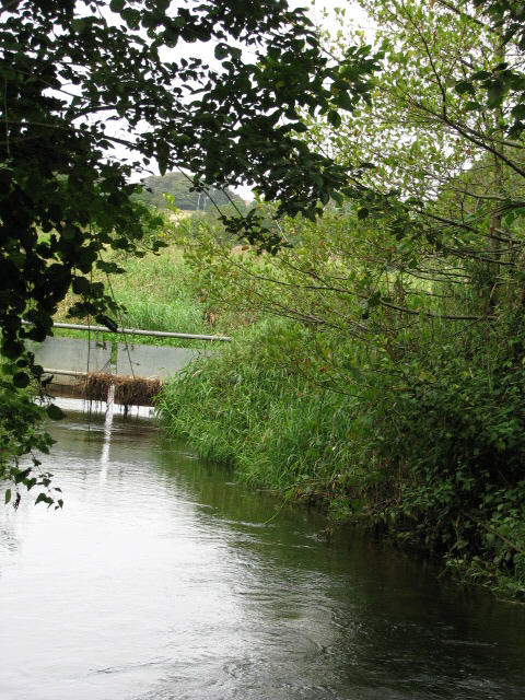
What's holding it back
12 hours from 3 storm overflows · 8 spills (2024: 52 hours)
Most hours: Melton Contable - Burgh Beck PS (Anglian Water, 9 h); Holt Main Road WRC (Anglian Water, 3 h).
Storm overflows that discharge into the Environment Agency water bodies making up this river, from the water companies' validated returns. Spills are counted the Environment Agency's way (12/24-hour blocks).
Source · checked 19 November 2026
- Long-lasting chemicals found in most English rivers
- Pollution from farming and the countryside · poor nutrient management
Full record, with confidence
| Problem recorded | Causes named | Confidence |
|---|---|---|
| Long-lasting chemicals found in most English rivers | Not stated | Confirmed or probable |
| Pollution from farming and the countryside | Poor nutrient management | Confirmed or probable |
What could help
General guidance based on the problems recorded here, not a plan for this river.
Buffer strips and fencing along the banks, keeping livestock out of the water, and traps for silt from fields and tracks.
Landowners can act: farmers and landowners, with advice and grants.
Restoration so far
We haven't checked this river for restoration projects yet.
Help the Glaven
Groups that look after it
- Rivers trustNorfolk Rivers Trust
Charity restoring Norfolk's rivers and wetlands, including its chalk streams.
How to help: Volunteer days, riverfly monitoring and water quality testing as a citizen scientist.
Sources (2) · checked 19 November 2026
More groups across the country on Get involved.
The Environment Agency's 24-hour incident hotline. Call straight away; a photo and exact location help. You can also report it online.
Volunteers check river insects once a month and flag pollution early. No experience needed: the Riverfly Partnership trains you.
Your local rivers trust runs work parties, clean-ups and restoration days.
See the storm overflows near the Glaven and how often they spill on The Rivers Trust's Sewage Map.
Stretches and official records
| Water body | Ecological status | What's holding it back | Chalk km | Official record |
|---|---|---|---|---|
| Glaven | Moderate (2022)2009 Moderate · 2010 Good · 2011 Good · 2012 Good · 2013 Good · 2014 Moderate · 2015 Moderate · 2016 Moderate · 2019 Moderate · 2022 Moderate | Pollution or low flow | 19.5 | GB105034055780 |
Sources: Environment Agency, Catchment Data Explorer (classifications and reasons for not achieving good status); Natural England, Chalk Rivers (England). Open Government Licence v3.0.
Know the Glaven? Send us a correction, a photo, or news about fishing or restoration.