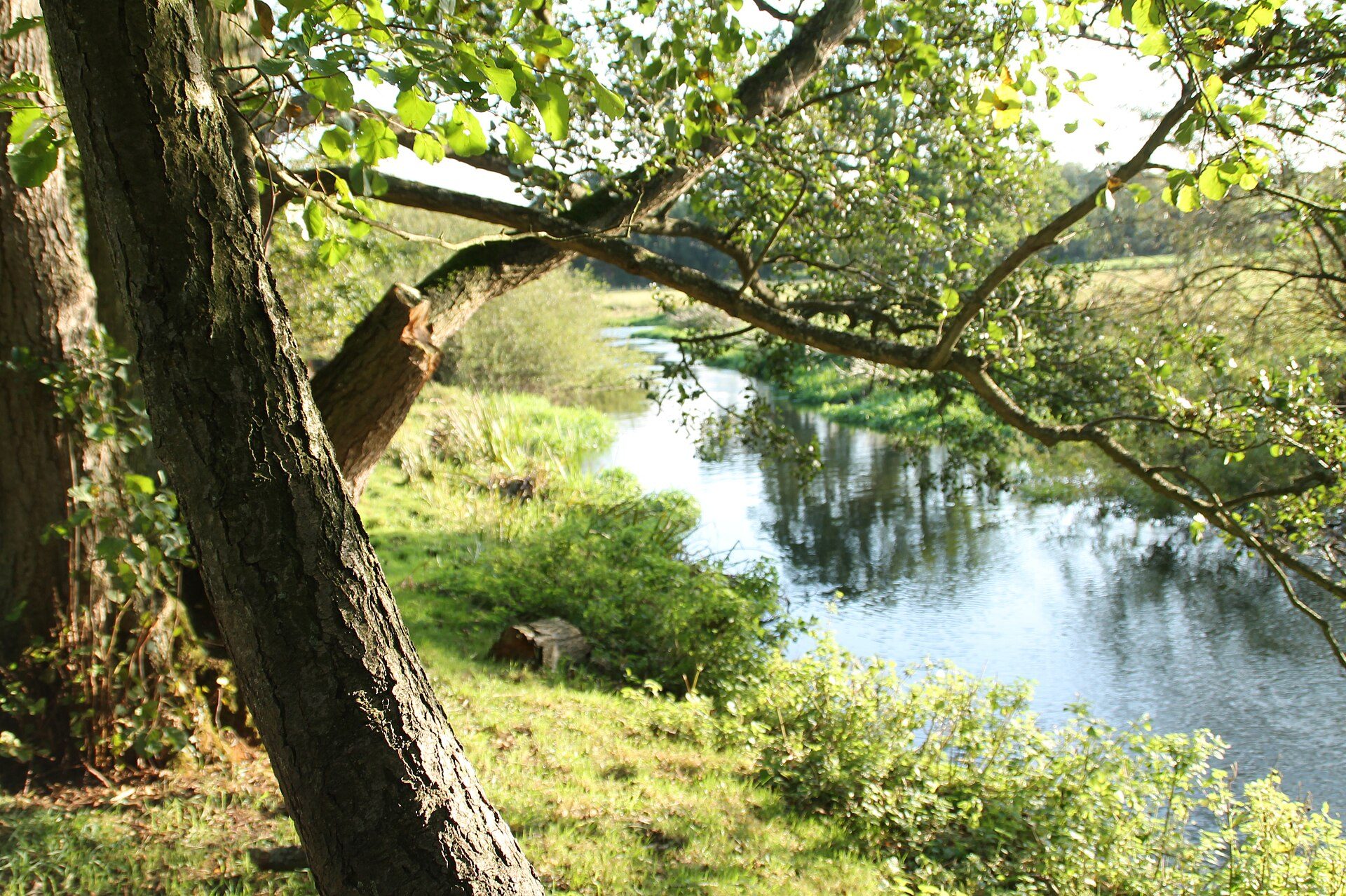
Norfolk's best-known chalk river, protected as a Site of Special Scientific Interest and a Special Area of Conservation for wildlife including bullhead and brook lamprey.
Worked out by overlaying the chalk channel on the official site boundaries. SSSIs are protected by law in England; SACs are the highest level of protection for wildlife sites.
Environment Agency ecological status, 2022. One failing measure sets the rating, so a river rated poor can still hold healthy fish.
Across its stretches: fish high to good.
Every measure, stretch by stretch
Stretch
Fish
River insects
Water plants
Phosphate
Oxygen
Ammonia
Flow
Wensum (to Tatterford)
Not measured
High
Not measured
High
High
High
OK
Wensum US Norwich
High
High
Moderate
Good
High
High
Not OK
Wensum DS Norwich
Good
High
Good
Good
High
High
Not OK
On the ground
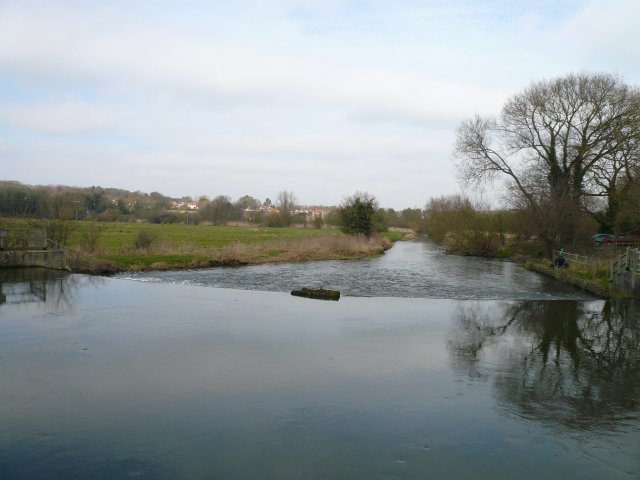
Photos of dry or low stretches, and of weirs and sluices that block fish, taken by Geograph contributors.
Most hours: Elm Hill Overflow (Anglian Water, 643 h); Norwich Cedar Road CSO (Anglian Water, 96 h); Norwich - Ketts Hill CSO (Anglian Water, 50 h).
Storm overflows that discharge into the Environment Agency water bodies making up this river, from the water companies' validated returns. Spills are counted the Environment Agency's way (12/24-hour blocks). 7 monitors were working less than 90% of the year, so the real figure may be higher.
Work by rivers trusts, landowners and others, listed from published sources.
in progress · ongoing, Natural England plan to 2027
River Wensum Restoration Strategy
A long-running strategy led by the Environment Agency and Natural England with Norfolk Rivers Trust and the Norfolk Rivers drainage board, restoring reach by reach (for example Pensthorpe, Lenwade and Costessey) and removing or easing old structures.
Environment Agency and Norfolk Rivers Trust partnership
Work on two Wensum tributaries and in the upper catchment to improve water quality and flow, alongside Norfolk Rivers Trust's water-sensitive farming work (farm wetlands, sediment traps, leaky dams).
Sources: Environment Agency, Catchment Data Explorer (classifications and reasons for not achieving good status); Natural England, Chalk Rivers (England). Open Government Licence v3.0.