Worked out by overlaying the chalk channel on the official site boundaries. SSSIs are protected by law in England; SACs are the highest level of protection for wildlife sites.
Environment Agency ecological status, 2022. One failing measure sets the rating, so a river rated poor can still hold healthy fish.
Across its stretches: river insects high to good.
Every measure, stretch by stretch
Stretch
Fish
River insects
Water plants
Phosphate
Oxygen
Ammonia
Flow
Stort and Navigation, B Stortford to Harlow
Poor
Good
Not measured
Poor
High
High
OK
Stort and Navigation, Harlow to Lee
Not measured
High
Not measured
Poor
High
High
OK
Stort and Bourne Brook
Not measured
Good
Good
Moderate
Poor
High
Not OK
Stort (at Clavering)
Not measured
High
Moderate
Moderate
Moderate
High
Not OK
On the ground
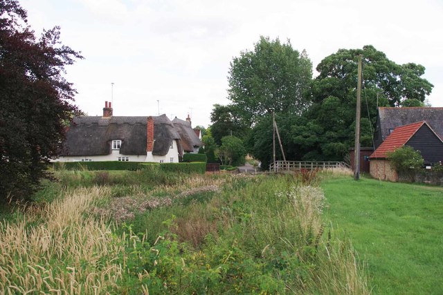
Photos of dry or low stretches, and of weirs and sluices that block fish, taken by Geograph contributors.
Storm overflows that discharge into the Environment Agency water bodies making up this river, from the water companies' validated returns. Spills are counted the Environment Agency's way (12/24-hour blocks).
Work by rivers trusts, landowners and others, listed from published sources.
planned · Works due June to November 2023
Grange Paddocks weir removal, Bishop's Stortford
Hertfordshire County Council and the Environment Agency planned to take out the horseshoe weir in Grange Paddocks and restore the banks upstream, removing the last barrier to fish on the Stort. The contract was awarded in January 2023. We haven't found confirmation that the works finished.
Two volunteer workshops run by the Wild Trout Trust with Herts and Middlesex Wildlife Trust, the Environment Agency and Affinity Water improved a 100 m stretch of the Stort.
Sources: Environment Agency, Catchment Data Explorer (classifications and reasons for not achieving good status); Natural England, Chalk Rivers (England). Open Government Licence v3.0.