
Amersham channel reconnection
Affinity Water and Five Rivers moved 1.14 km of the Misbourne back into its old channel in the centre of the floodplain, south of Amersham.
Rivers · Chilterns (Herts and Bucks)
Fish poor
River insects high
Pollution or low flow
4 projects recorded
None found online
Who lets the water, how to get a rod, and the river level today.
Public fishing is not allowed in Buckinghamshire's country park, and we found no clubs or lettings.
Chalk stream fishing is almost always private: always get permission.
Live from the Environment Agency's gauges, updated every 15 minutes. The shaded band is each gauge's usual range; the line is the last seven days.
Loading the latest levels…
Source: Environment Agency real-time flood-monitoring data, Open Government Licence v3.0.
How the river is doing, what the Environment Agency records as holding it back, what could help, and who is working on it.
Not protected as a river, but flows through: Old Rectory Meadows SSSI.
Worked out by overlaying the chalk channel on the official site boundaries. SSSIs are protected by law in England; SACs are the highest level of protection for wildlife sites.
Environment Agency ecological status, 2022. One failing measure sets the rating, so a river rated poor can still hold healthy fish.
| Stretch | Fish | River insects | Water plants | Phosphate | Oxygen | Ammonia | Flow |
|---|---|---|---|---|---|---|---|
| Misbourne | Poor | High | Moderate | High | High | High | Not OK |
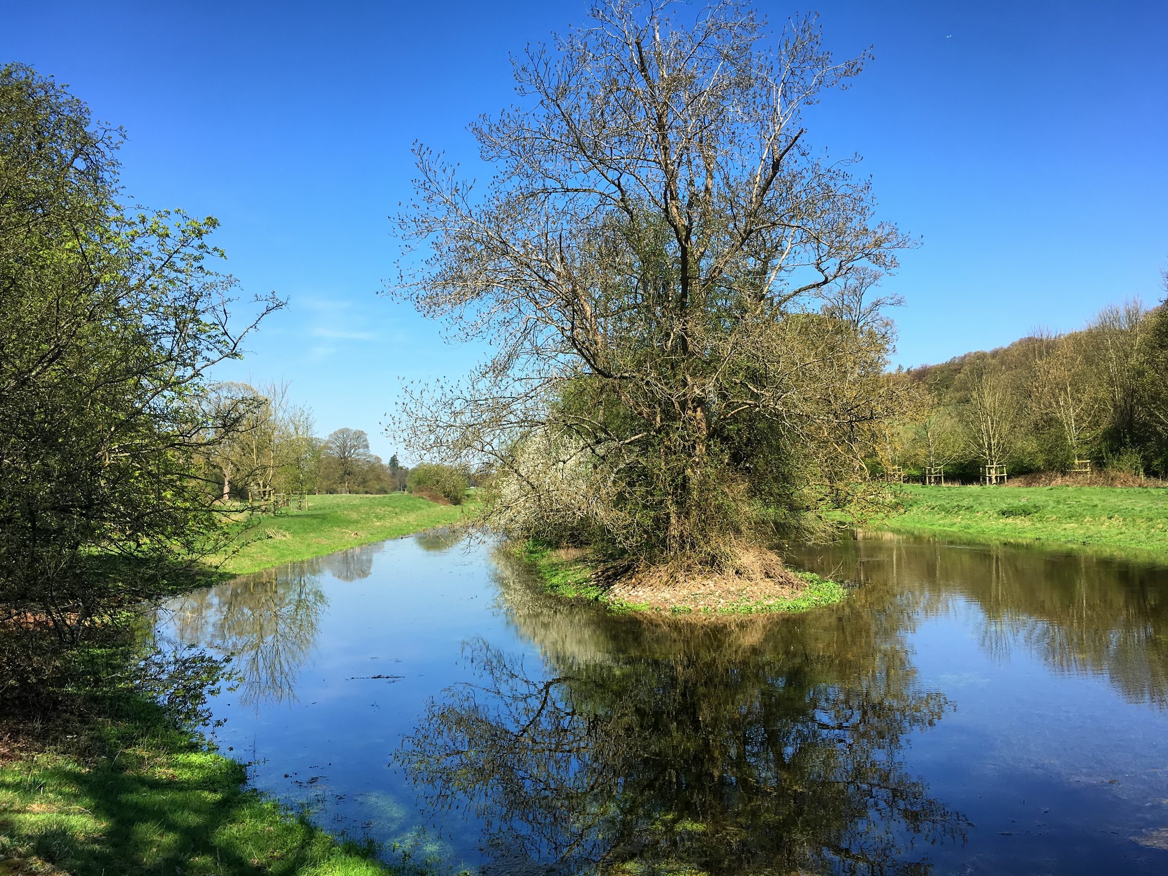
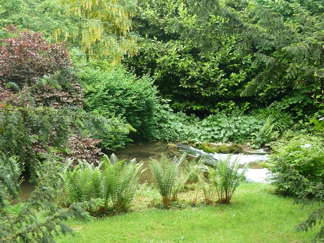
Photos of dry or low stretches, and of weirs and sluices that block fish, taken by Geograph contributors.
22.3% of the rain that soaks into the chalk each year
Above the 10% level the national survey measures against. Getting down to 10% would mean pumping about 10 million litres a day less.
1,772 hours from 2 storm overflows · 101 spills (2024: 7,681 hours)
Most hours: Gerrards Cross (Thames Water, 1,605 h); Amersham Balancing Tanks (Thames Water, 167 h).
Storm overflows that discharge into the Environment Agency water bodies making up this river, from the water companies' validated returns. Spills are counted the Environment Agency's way (12/24-hour blocks).
| Problem recorded | Causes named | Confidence |
|---|---|---|
| Too little water (abstraction or low flow) | Groundwater abstraction | Confirmed or probable |
| Changes to the river channel | Barriers - ecological discontinuity, Flood protection - structures | Confirmed or probable |
| Long-lasting chemicals found in most English rivers | Not stated | Confirmed or probable |
General guidance based on the problems recorded here, not a plan for this river.
Less water taken from the chalk aquifer; holding water on the land with wetlands and leaky dams helps a little.
Mostly beyond a landowner: water companies and the environment agency.
Put gravel back, narrow over-wide channels, add fallen wood, and ease or remove old weirs and hatches.
Landowners can act: landowners with a rivers trust, often grant-funded.
Work by rivers trusts, landowners and others, listed from published sources.
Affinity Water and Five Rivers moved 1.14 km of the Misbourne back into its old channel in the centre of the floodplain, south of Amersham.
Affinity Water added earth and woody berms to narrow and re-naturalise the river in Old Amersham.
Berks, Bucks & Oxon Wildlife Trust and the Wild Trout Trust improved habitat from the Colne Valley Park visitor centre down to the Colne, funded by the Environment Agency.
The Chilterns Chalk Streams Project has secured about £1 million for a five-year programme on sewage, abstraction and river restoration.
On Affinity Water moving its pumping away from the Chiltern headwaters, and why cleaner water and habitat work are still needed.
Charles Rangeley-Wilson, chalkstreams.org · 31 July 2026 · link checked 19 November 2026A partnership set up in 1997 to look after the Chilterns' chalk streams, led by the Chilterns Conservation Board.
How to help: Practical work days, riverfly and water vole surveys, and help with events. Local river groups welcome new volunteers.
More groups across the country on Get involved.
The Environment Agency's 24-hour incident hotline. Call straight away; a photo and exact location help. You can also report it online.
Volunteers check river insects once a month and flag pollution early. No experience needed: the Riverfly Partnership trains you.
Your local rivers trust runs work parties, clean-ups and restoration days.
See the storm overflows near the Misbourne and how often they spill on The Rivers Trust's Sewage Map.
| Water body | Ecological status | What's holding it back | Chalk km | Official record |
|---|---|---|---|---|
| Misbourne | Poor (2022)2009 Moderate · 2010 Moderate · 2011 Poor · 2012 Moderate · 2013 Moderate · 2014 Moderate · 2015 Moderate · 2016 Moderate · 2019 Moderate · 2022 Poor | Pollution or low flow | 25.6 | GB106039029830 |
Sources: Environment Agency, Catchment Data Explorer (classifications and reasons for not achieving good status); Natural England, Chalk Rivers (England). Open Government Licence v3.0.
Colne · Ver · Chess · Gade · Bulbourne · Alder Bourne · Tykes Water · Colne Brook
Know the Misbourne? Send us a correction, a photo, or news about fishing or restoration.