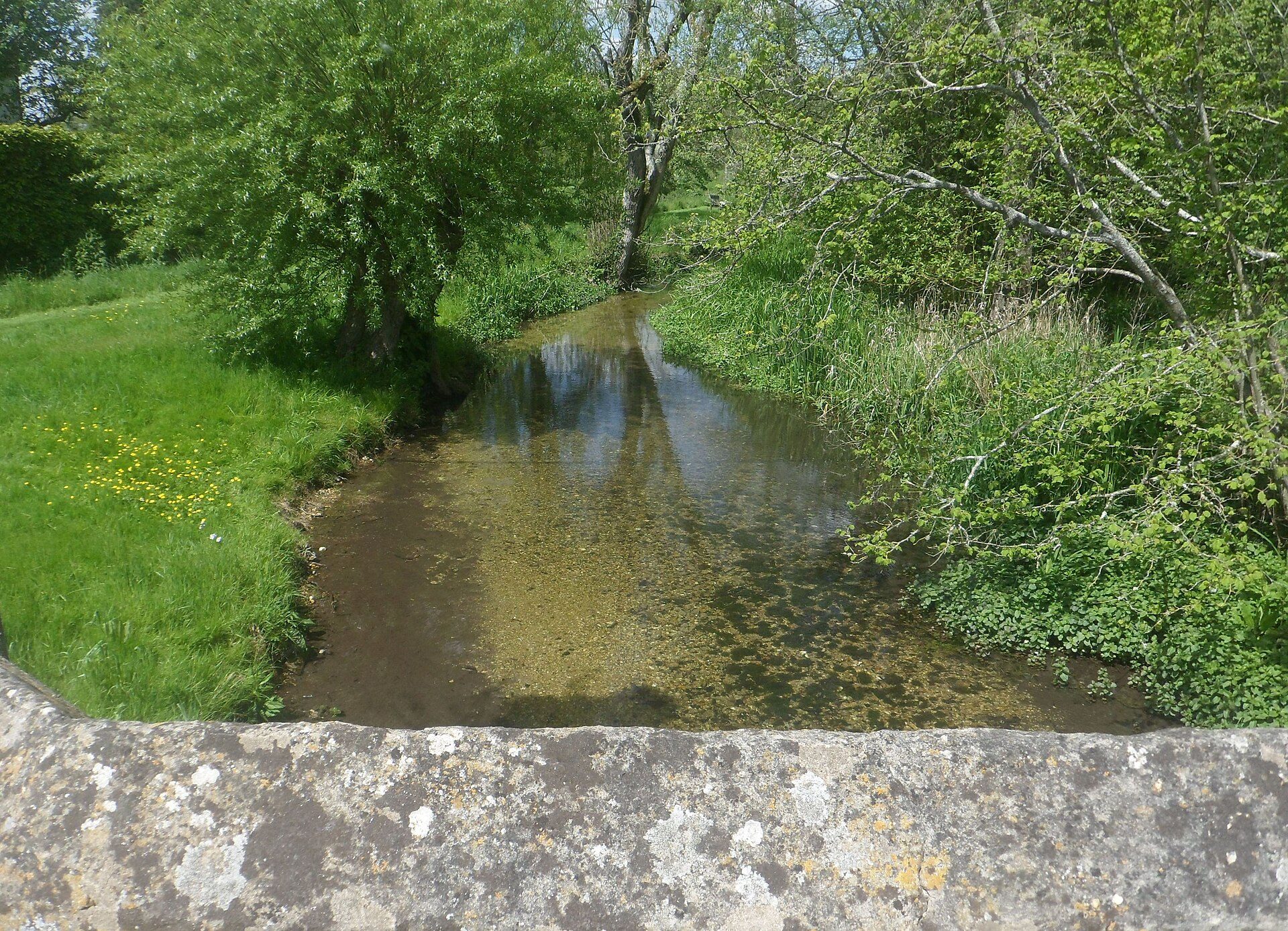

FReSH Water Programme
Wessex Rivers Trust and Southern Water's £10 million programme has restored more than 20 sites across the Test, Dever, Dun, Bourne Rivulet and Meon. The sites on each river aren't named.
Rivers · Hampshire
Fish high
River insects high
Cause not yet known
1 project recorded
Who lets the water, how to get a rod, and the river level today.
Let through agents: Upstream Dry Fly has a beat on the Newton Stacey estate, and Fishing Breaks includes Bullington Manor in its Test valley ticket.
Chalk stream fishing is almost always private: always get permission.
Live from the Environment Agency's gauges, updated every 15 minutes. The shaded band is each gauge's usual range; the line is the last seven days.
Loading the latest levels…
Source: Environment Agency real-time flood-monitoring data, Open Government Licence v3.0.
How the river is doing, what the Environment Agency records as holding it back, what could help, and who is working on it.
Protected as a river: River Test SSSI (11 km).
Also flows through: Bransbury Common SSSI.
Worked out by overlaying the chalk channel on the official site boundaries. SSSIs are protected by law in England; SACs are the highest level of protection for wildlife sites.
Environment Agency ecological status, 2022. One failing measure sets the rating, so a river rated poor can still hold healthy fish.
| Stretch | Fish | River insects | Water plants | Phosphate | Oxygen | Ammonia | Flow |
|---|---|---|---|---|---|---|---|
| Dever | High | High | Good | High | High | High | OK |
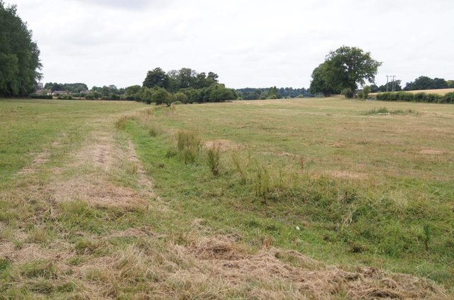
Photos of dry or low stretches, and of weirs and sluices that block fish, taken by Geograph contributors.
| Problem recorded | Causes named | Confidence |
|---|---|---|
| Long-lasting chemicals found in most English rivers | Not stated | Confirmed or probable |
Work by rivers trusts, landowners and others, listed from published sources.
Wessex Rivers Trust and Southern Water's £10 million programme has restored more than 20 sites across the Test, Dever, Dun, Bourne Rivulet and Meon. The sites on each river aren't named.
Charity for the rivers and chalk streams of Wessex, including the Test, Itchen and Hampshire Avon. Formerly the Wessex Chalk Stream and Rivers Trust.
How to help: Volunteer work parties, education volunteering and stream dipping sessions.
Volunteer role protecting and celebrating the headwaters of the Test and Itchen.
How to help: Can be done remotely. Over 18s only.
More groups across the country on Get involved.
The Environment Agency's 24-hour incident hotline. Call straight away; a photo and exact location help. You can also report it online.
Volunteers check river insects once a month and flag pollution early. No experience needed: the Riverfly Partnership trains you.
Your local rivers trust runs work parties, clean-ups and restoration days.
See the storm overflows near the Dever and how often they spill on The Rivers Trust's Sewage Map.
| Water body | Ecological status | What's holding it back | Chalk km | Official record |
|---|---|---|---|---|
| Dever | Good (2022)2009 Moderate · 2010 Moderate · 2011 Moderate · 2012 Good · 2013 Good · 2014 Moderate · 2015 Good · 2016 Good · 2019 Good · 2022 Good | Cause not yet known | 19.9 | GB107042022770 |
Sources: Environment Agency, Catchment Data Explorer (classifications and reasons for not achieving good status); Natural England, Chalk Rivers (England). Open Government Licence v3.0.
Itchen · Test · Dun (Test tributary) · Bourne Rivulet · Anton · Wallop Brook · Tichborne · Pillhill Brook
Know the Dever? Send us a correction, a photo, or news about fishing or restoration.